Having recently acquired a new laptop, an Entroware Proteus (shown below), I had to remind myself how to set-it-up for my needs. This includes the usual things like document editing, web browsing and email.
Last week I presented at UCL’s summer school which, by all accounts, was a very successful event in which many people learned many new skills. The presentation format was a refreshing changes from the PowerPoint slides you’re often asked to prepare.
UseR! is the highest profile and, I believe, most popular annual meeting for R enthusiasts, known affectionately as ‘UseRs’ for the purposes of the event. For those who have been living under a stone for the past decade ;) R is an open source statistical programming language that has seen explosive growth since ‘data science’ became a buzzword.
I am very happy to announce that the paper stplanr: A package for transport planning has been published in The R Journal (Lovelace and Ellison 2018) 🎉.
This is the result of around 3 years of work: it took us (co-author Richard Ellison and me) over a year to get round to writing the paper after the stplanr package was first released on CRAN in November 2015 (see its archive on CRAN for details); it wasn’t until March 2017 that the paper was formally submitted.
The previous post demonstrated a new method to aggregate overlapping lines. It showed how to combine 2 lines that have an area of overlap. More excitingly, it led to the creation of a new function in stplanr, overline_sf(), that lives in the development version of the package.
Introduction It’s been a busy 12 months but with the Geocomputation with R book nearing completion1 I’ve finally found some time to update my blog and do a bit of thinking, about the tangled topic of line aggregation.
I’ve finally got a new blog post, to test that my new set-up is working, using the wonderful new blogdown package.
Here’s a test plot, to show how it allows R code to be embedded:
Last week I went to GEOSTAT 2016. Given the amount of fun had at GEOSTAT 2015, expectations were high. The local organisers did not disappoint, with a week of lectures, workshops, spatial data competitions and of course lots of Geostatistics.
The 23rd iteration of the GIS Research UK conference (#GISRUK) conference was the largest ever. 250 researchers, industry representatives and academics attended from the vibrant geospatial research communities in the UK, Europe and beyond.
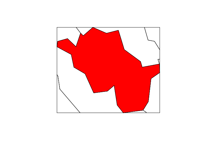
This miniature vignette shows how to clip spatial data based on different spatial objects in R and a ‘bounding box’. Spatial overlays are common in GIS applications and R users are fortunate that the clipping and spatial subsetting functions are mature and fairly fast. We’ll also write a new function called gClip(), that will make clipping by bounding boxes easier.