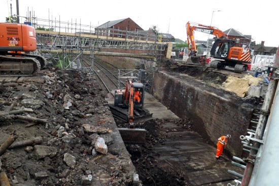
Central concept: desire lines
Central concept: desire lines
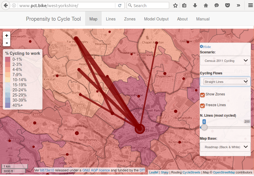
- Origin-destination can be mapped as 'desire lines'
- Cycling desire lines will shift with cycling uptake (Lovelace, Goodman, Aldred, Berkoff, Abbas, and Woodcock, 2017)
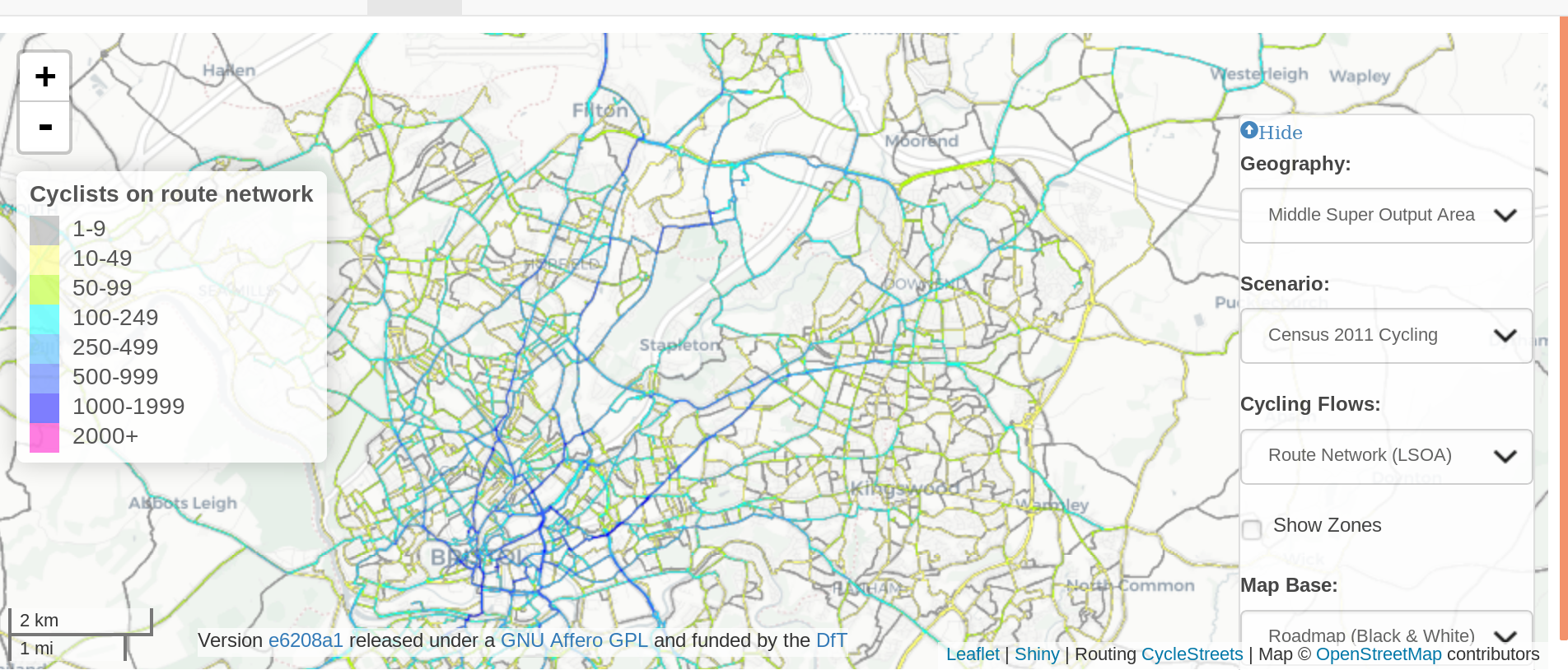
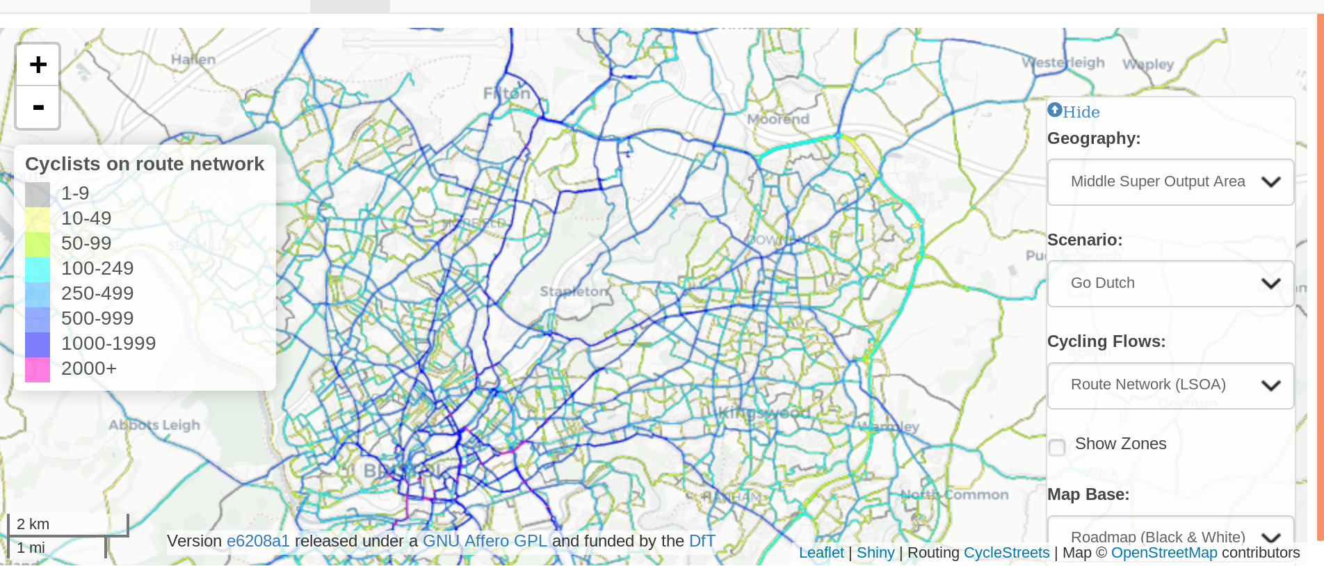
Scenario shift in network load (source: pct.bike)
Policy context
The impacts of infrastructure are international
- Roads and other major structures are being constructed on a huge scale worldwide
- But there is little assessment on their active travel impacts
- Credit: flickr user thestuff

Research into impacts of roads
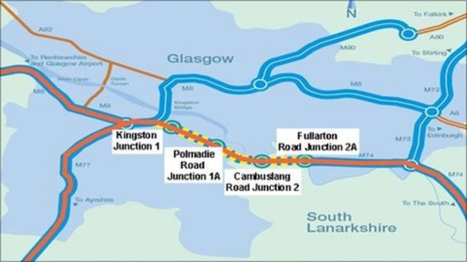
The extension of the M74 motorway = 'natural experiment':
- People who live near motorways seem to be less physically active (Ogilvie, Mitchell, Mutrie, Petticrew, and Platt, 2006)
And more car dependent
Limited evidence of impacts on active travel
Active travel impacts: a typology
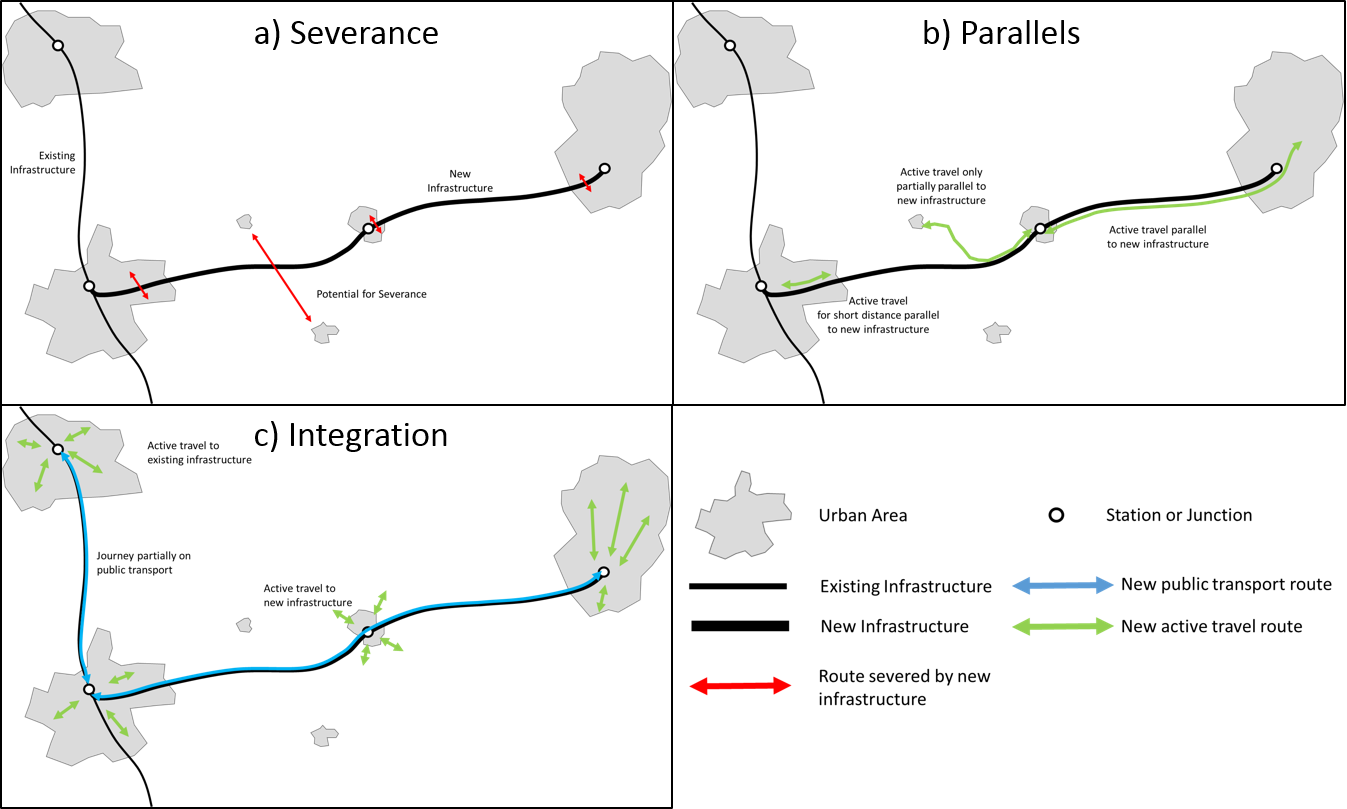
A typology of active travel options.
Methods
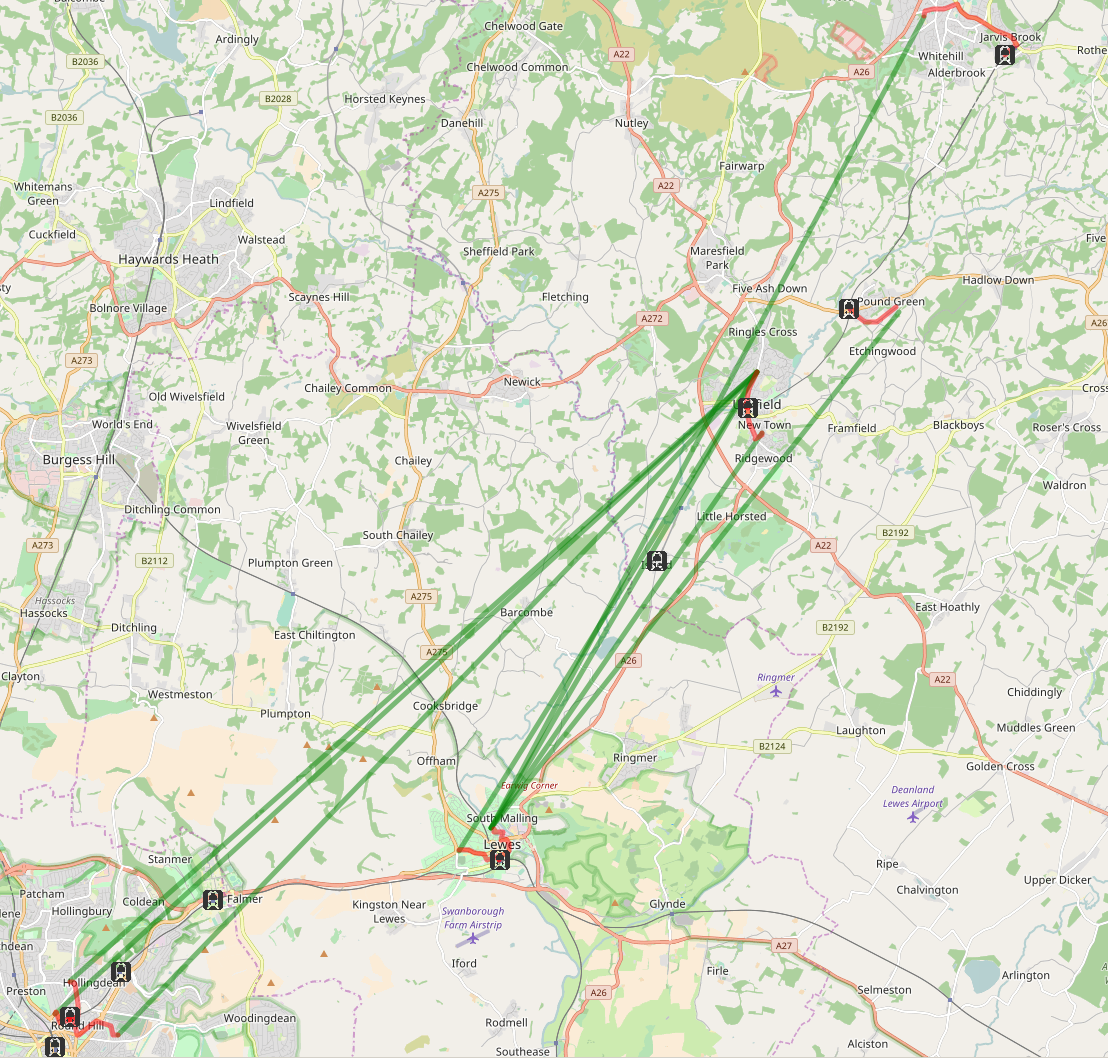
- Lewes-Uckfield line used as the study area
- Online version of this map: http://rpubs.com/RobinLovelace/417218
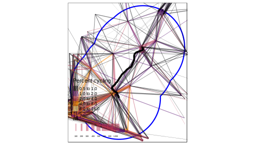
Overview of the Lewes-Uckfield line with a 10 km buffer (blue). Width is proportional to the number of commutes.
Parallels (Credit: Philip McErlean, CC )

Subsetting desire lines by centre point proximity
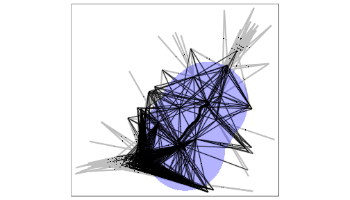
Illustration of the 'line centre point' subsetting method
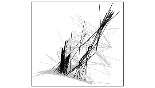
Finding desire lines that are (roughly) parallel
This involved the development of a new R function, angle_diff()
Online version: http://rpubs.com/RobinLovelace/417326
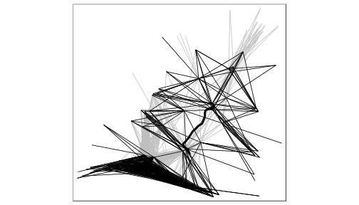
What about perpendicular lines (severance)?
The same method!
3: Access to stations (Credit: M. Morgan)
- Divide each route into 3
How to deal with long, windy routes?
- Break the train line into segments
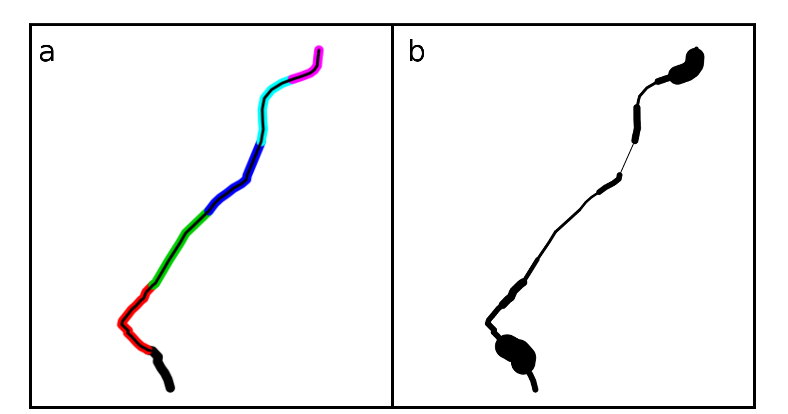
Method of splitting the route into discrete segments using the line segment function from the stplanr R package (a) and cycling potential severed (b).
All methods together
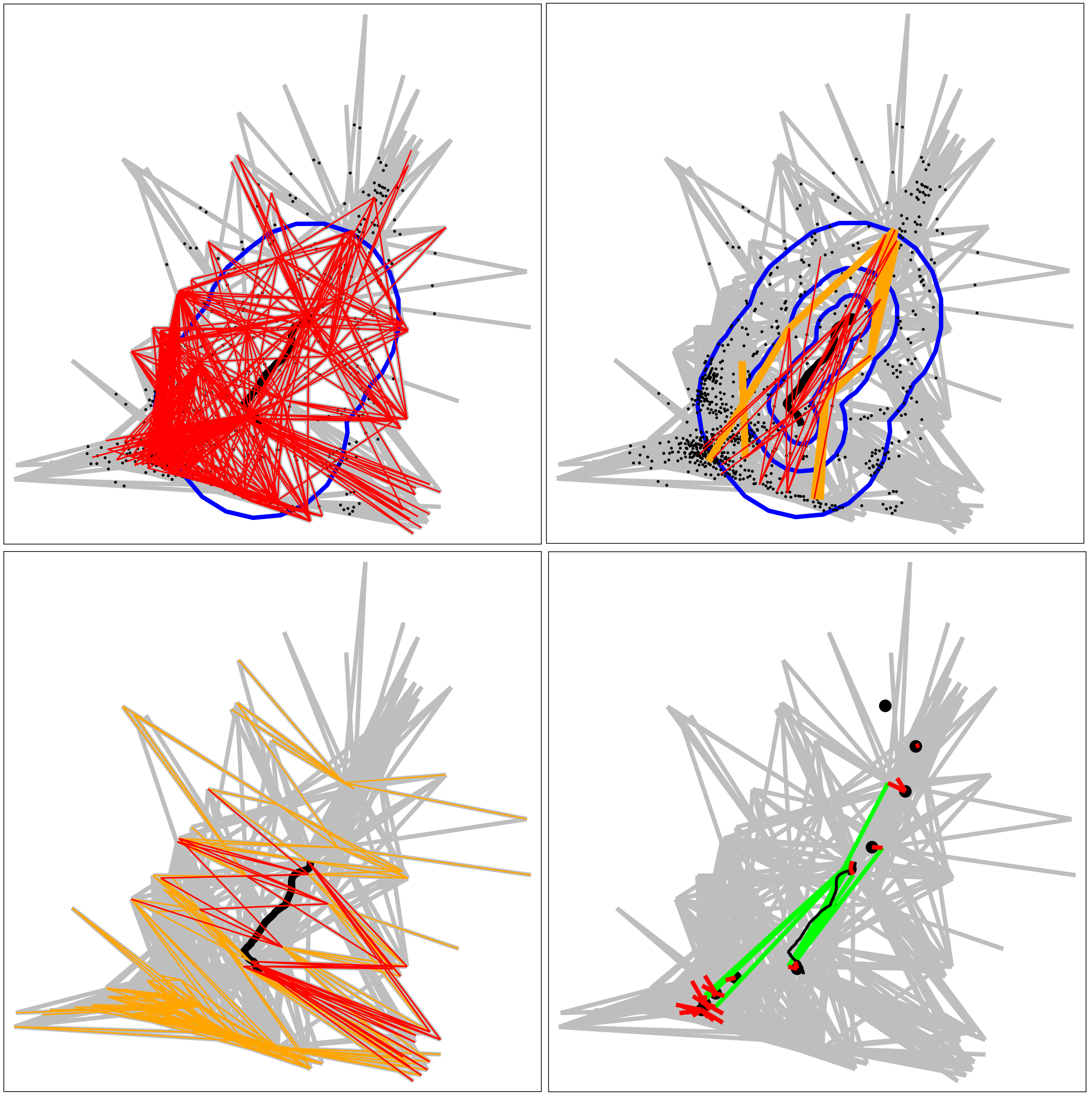
Centre point-buffer (a), parallel (b), perpendicular (c) and station access (d) methods.